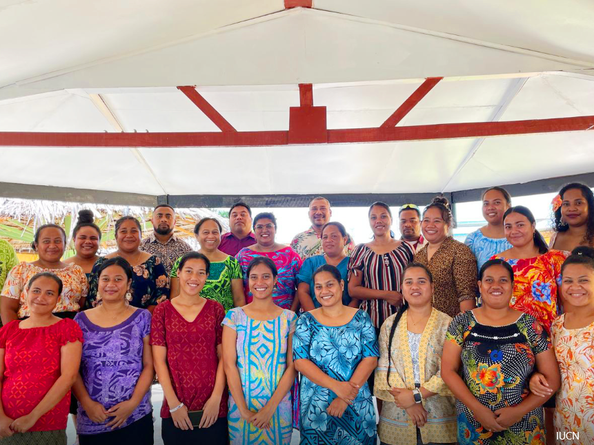
Two Pacific nations are making important progress in sustainable ocean management, following back-to-back national workshops delivered under the EU-funded Pacific Bioscapes Programme. The first took place in Rarotonga, Cook Islands during the week of 26th May, and the second in Tarawa, Kiribati on the week of 9th June 2025. Both workshops were led by IUCN Oceania in collaboration with the two governments focusing on dialogues around MSP, the various components involved in this massive undertaking and how building capacity in Geographic Information Systems (GIS) is prudent to support Marine Spatial Planning (MSP).
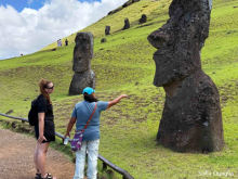
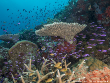
In the Cook Islands, the Bioscapes GIS Capacity Building Workshop brought together representatives from key government departments such as the Marae Moana Coordination Committee, Infrastructure Cook Islands and National Environment Services to strengthen technical capabilities in spatial data analysis. The sessions focused on National Marine Spatial Plan (NMSP) steps and discussions around the various knowledge products created during as we go through the Cook Islands 13 step process to achieve their NMSP, building foundational GIS skills including data conversion, overlay analysis, and marine habitat mapping as well as practical insights into topics like seabed minerals, LiDAR mapping, and marine bioregions.