Seagrass Extent, Machine Learning (Sentinel-2, 10 m)

This dataset maps the distribution of seagrass ecosystems across the Pacific region using Sentinel-2 imagery. It applies machine learning techniques to classify seagrass extent at high spatial resolution. The dataset supports marine habitat mapping, biodiversity monitoring, and coastal ecosystem management.

Lineage:
Derived from Sentinel-2 imagery using machine learning models trained to classify seagrass extent.

Processing level:
Modelled

Dataset type:
Categorical map

#### Properties :
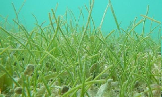
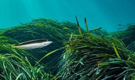
Seagrass: green leaves swaying in the currents. Fish weave their way through, and sea turtles graze. They're always on their guard, watching out for any encroaching sharks. The seagrass' roots are hidden in the seabed, where they anchor the sand, securing the coastline.

Seagrass meadows are important sources of reef island-building sediment

The future vulnerability of low-lying atoll nations is inextricably linked to the production of carbonate sediments by organisms living in their adjacent marine environments. Seagrass meadows are commonly found adjacent to reef islands, but their role as sources of reef island-building sediments has been overlooked. Here, we combine field, satellite and sedimentological data to quantify rates of sediment production by seagrass epibionts in a reef island sediment supply context.

The Pew Charitable Trusts today applauded several nations for including ambitious targets to protect and restore coastal wetlands in their updated nationally determined contributions (NDCs). Parties to the Paris Agreement are increasingly recognizing the role that coastal "blue carbon" habit